
PARTNER NATION
Sq'éwqel (Seabird Island)

PROJECT TYPE
Management & Systems
STATUS
Completed March 2026
Project Overview
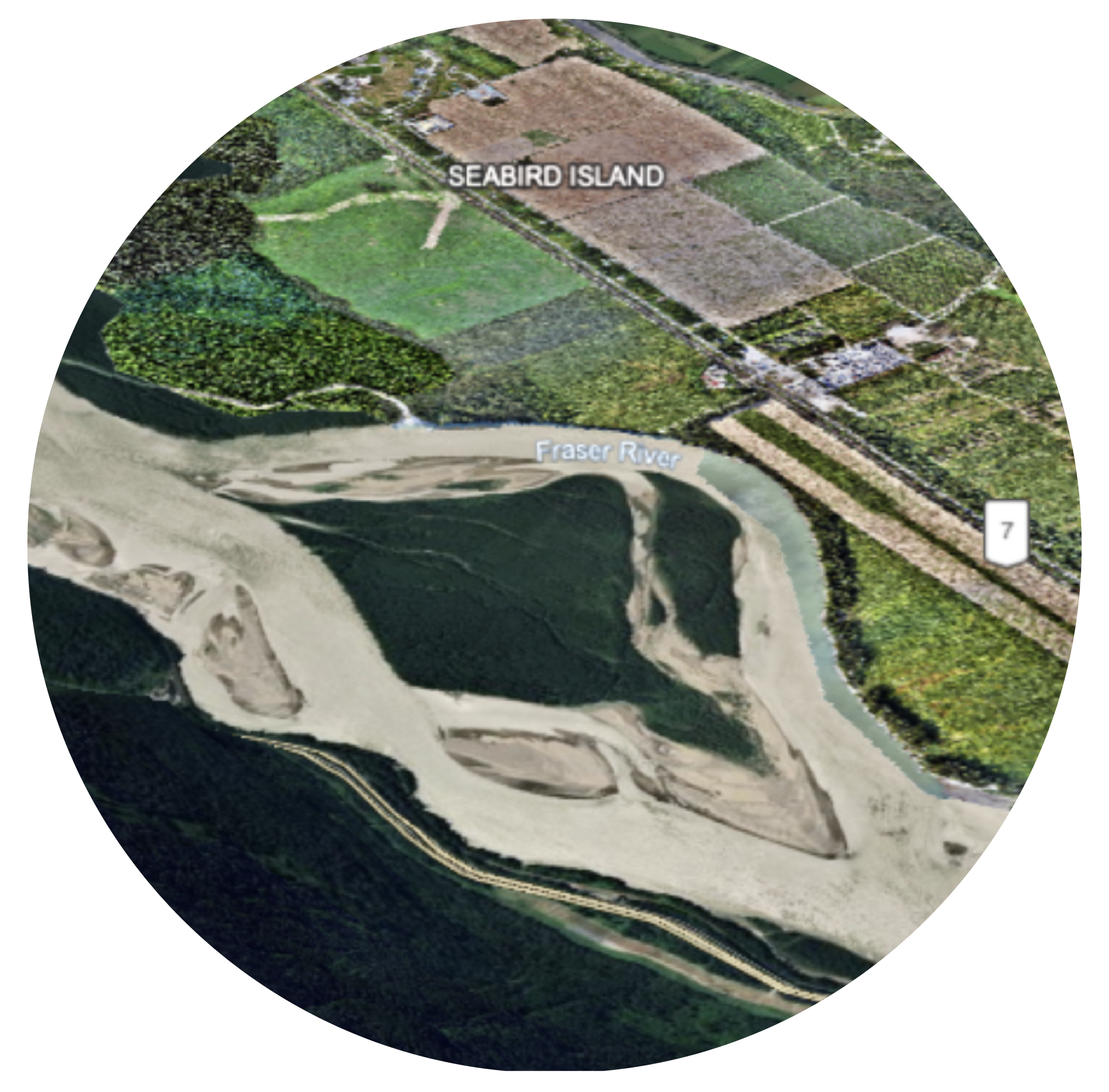
Sq'éwqel (Seabird Island) developed new aerial imagery and an orthophoto to support future geospatial data management.
The project included strengthening access controls and staff training.
This supports departments in using current spatial data for planning, asset management, emergency response, and infrastructure development, while laying the groundwork for a future multi-user Enterprise Geodatabase.
“This project will contribute to the continued development of First Nations data sovereignty by ensuring that data collection, interpretation, and use are guided by distinct values, protocols, and self-defined priorities. For Seabird Island, it will enhance our capacity to define success on our own terms and modern urban Nation.”
— Amir Zeb, GIS Lead

Case Study Highlights
The project produced a professional-grade orthomap and elevation models that gave Seabird Island an accurate, current picture of its territory.
The worklaid a foundation for future digitization and Geodatabase development by producing base imagery and ground control points accurate to the millimeter.
The project strengthened Seabird Island’s data capacity, including staff understanding of spatial data, internal workflows, and organizational readiness for the next phases of GIS development.
The new GIS Portal supported internal access and sharing with partners.
The deliverables gave Seabird Island a concrete and compelling basis for planning and continued investment in the next phase of this work.
“With the production of the Seabird Island orthomap and Digital Surface Model, we now have accurate, up-to-date geospatial imagery that forms a strong foundation for analysis, mapping, and planning activities. This alone represents a major baseline in data capacity.”
— Amir Zeb, GIS Lead
Downloadable Materials
Read the full Case Study on the process, discoveries, and outcomes for Seabird Island and the lessons other Nations can take away.